Loza Radar Australia is the licenced dealer for the Loza Radar deep ground penetrating radar technology that is a leader in sub-surface data gathering and interpretation down to depths of 240m.
As a licenced dealer and operator, Loza Radar Australia is fully supported by the developer of this technology such that as advances are made in improving the already high definition data capabilities and depth penetration, Loza Radar Australia will have access to the new advancement in both hardware and software.
Applications:
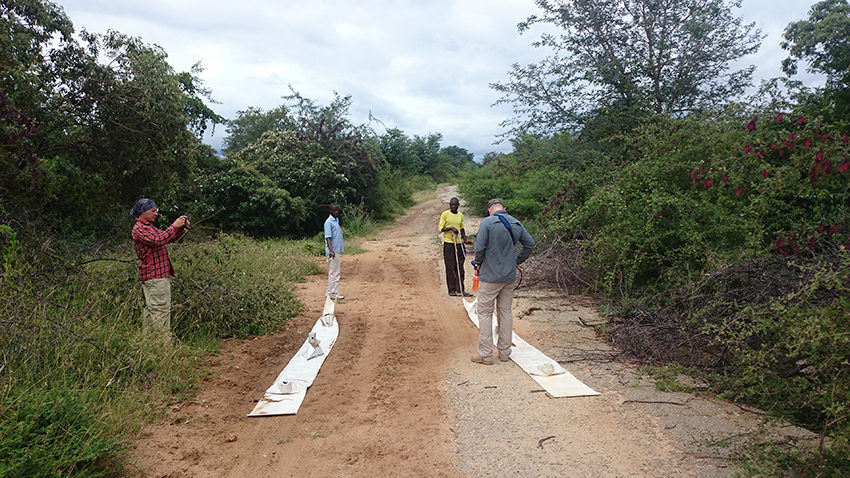
- Our surveys are rapid and efficient with real time analysis in most cases or a data turn-around in 24 hours if the project requires detailed processing. Our average daily production in non-cleared terrain is between 2.5 km and 4 km per day allowing for large survey’s to be completed in a short timeframe.
- Importantly, the acquisition of data is environmentally friendly where clearing for survey lines is not necessary if the client has environmental restraints such that an initial assessment of the project area can be undertaken prior to seeking clearing permits.
- Got a large soil geochemical anomaly that you can’t pinpoint a source? Let us conduct a trial with Loza DGPR to see if we can detect a possible source for the elevated values and provide a sub-surface drill target.
Project Specific:
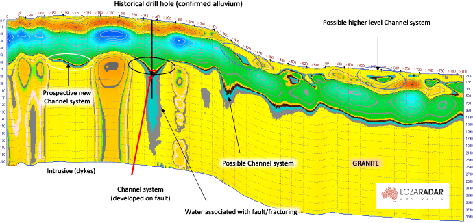
- Palaeo-channel mapping from shallow (0 to 10m) as well as down to 180 m where channels have widths from 2m to 400 m – our work to date has been specifically for gold and diamonds but also for tin and uranium.
- Surveying and mapping kimberlite pipes including generation of 3D models.
- Deep ground penetrating radar surveys for Lithium pegmatites mapping both known as well as blind pegmatites enabling targeted drilling.
- We are seeing success in detecting and then mapping narrow vein systems; massive sulphide styled deposits such as VHMS; disseminated copper gold styled deposits and several other deposit styles.
- Old mine works causing problems? Loza Radar Australia can survey for voids to provide information on both known occurrences but also any unknow stopes not on old mine plans.
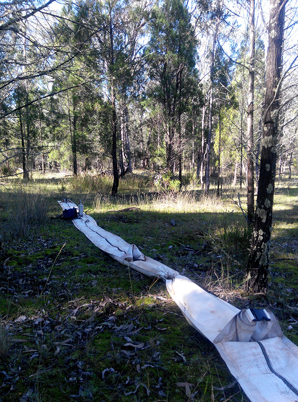
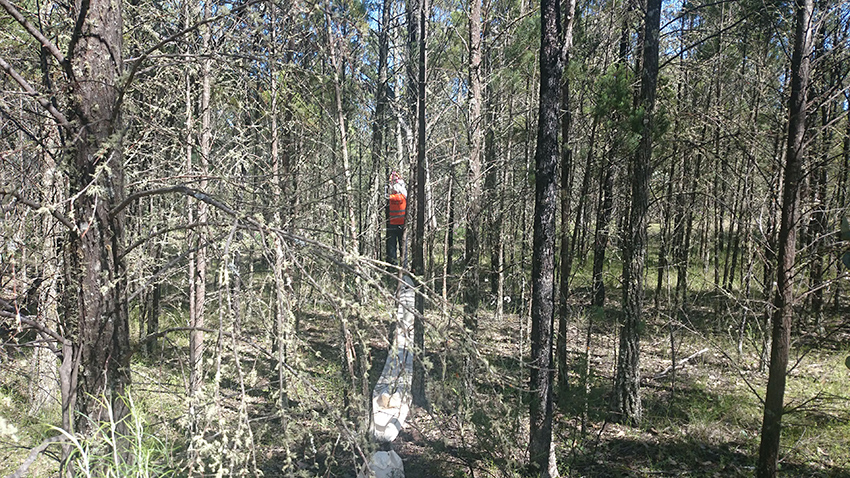
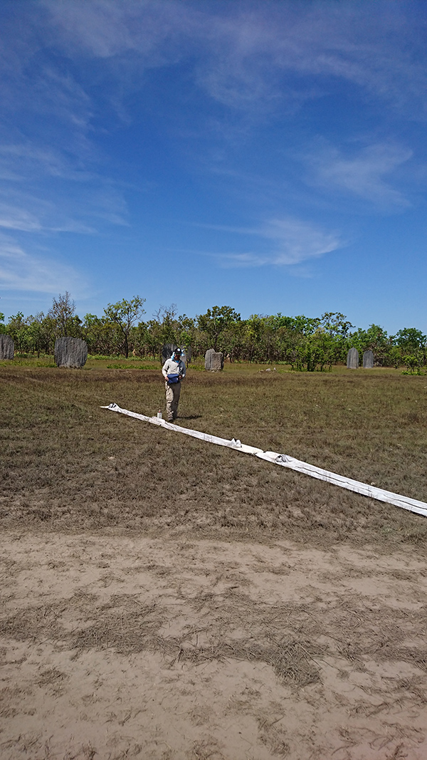
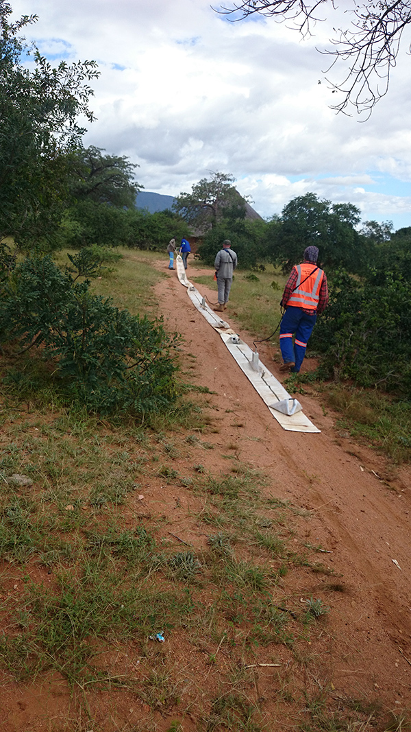
Survey line set at 50m depth over broad magnetic anomaly – partly over black soil
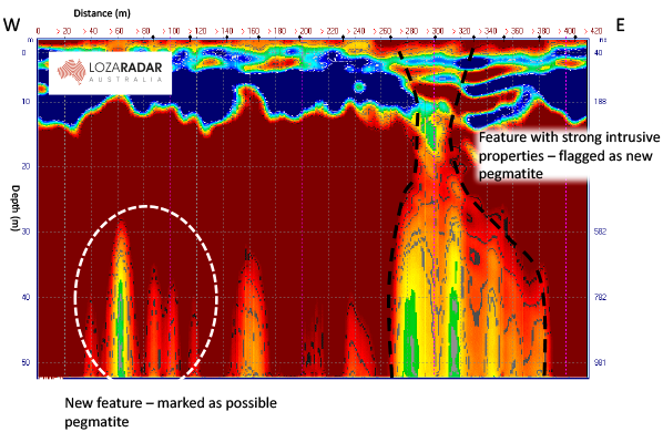
Survey line set at 50m depth over broad magnetic anomaly – partly over black soil

Survey line set at 50m depth over broad magnetic anomaly – partly over black soil
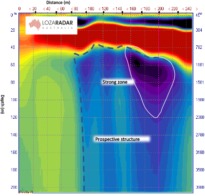
Survey line set at 50m depth over broad magnetic anomaly –
partly over black soil
View More Case Studies


